Scientists Warn ‘Sleeping Giant’ Fault May Imminently Rupture, Threatening 300,000 U.S. Residents
California’s Hidden Seismic Threat: Fault Beneath Bay Area Could Trigger 6.7+ Quake
[Image: An aerial map highlighting the Concord Fault’s path through Walnut Creek and Concord, illustrating proximity to residential areas.]
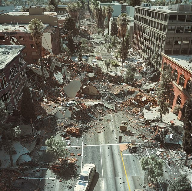
A once-dismissed fault in California’s San Francisco Bay Area—the Concord Fault—is now confirmed to be actively shifting beneath neighborhoods, schools, and critical infrastructure. A groundbreaking U.S. Geological Survey (USGS) study reveals that tectonic movement between the Pacific and North American plates has reawakened this “sleeping giant,” putting over 300,000 residents at risk of a sudden magnitude 6.7+ earthquake.
The Silent Danger
Spanning 12.4 miles from Mount Diablo to Suisun Bay, the Concord Fault’s Madigan Avenue strand lies 1,300 feet west of its previously mapped location. This shift places homes, pipelines, and even Valle Verde Elementary School directly above its path. Researchers documented sidewalks near the school that have shifted 7 inches over decades due to imperceptible subsurface movement called “fault creep.”
[Image: Cracked sidewalks and curbs in Walnut Creek, showing visible warping from creeping fault activity.]
Creeping Crisis
Fault creep—a slow, silent slippage—has bent water lines, cracked roads, and deformed properties across the East Bay. While creep can relieve stress, experts warn the Concord Fault’s hazard remains unpredictable. “We don’t know how deep the creep extends,” explains UC Berkeley’s Roland Burgmann, co-author of the study published in the Seismological Society of America Bulletin. Historically, the fault was thought to creep only near Martinez, but new data confirms a 4.4-mile southern section is also slipping at 3 mm/year.
The 1955 Warning
In 1955, a magnitude 5.4 quake on the Concord Fault caused $1 million in damage (≈$12 million today). A repeat event could be far worse. Using satellite imagery and field surveys, USGS scientists found 30+ sites with misaligned infrastructure matching the fault’s revised path. “Many residents report deformed houses and broken water lines,” says USGS geologist Jessie Vermeer.
[Image: Satellite overlay comparing historical and current fault traces, emphasizing urban encroachment.]
Uncertain Future
The updated fault map reveals vulnerabilities in critical transportation and utility networks. While retrofitting older buildings and infrastructure could mitigate risks, the creeping fault complicates long-term planning. “Knowing the fault’s exact location is crucial,” stresses Burgmann. Researchers are now investigating nearby undocumented faults, suggesting seismic risks in the East Bay may be even greater than feared.
Despite its quiet creep, the Concord Fault remains a tectonic time bomb. For 300,000 residents living atop it, preparedness is the only defense against a rupture with no warning.
Visuals suggested: Maps, damaged infrastructure photos, and fault diagrams to underscore hidden geologic threats.


