Ancient Frozen Ecosystem Locked Beneath Antarctic Ice Reveals Prehistoric Secrets as Pristine Time Capsule
Ancient Antarctic Landscape Revealed Under Mile-Thick Ice
A 34-million-year-old landscape, preserved beneath over a mile of ice in East Antarctica, has been discovered by scientists. Spanning an area the size of Maryland, this hidden terrain in Wilkes Land was mapped using satellite data and ice-penetrating radar. The region once hosted rivers, forests, and possibly even palm trees, as evidenced by pollen found along nearby coasts.
[Image 1: Radar map revealing valleys and ridges beneath the ice]
Caption: Satellite and radar data show a dramatic landscape of valleys and ridges carved by ancient rivers, preserved under Antarctica’s ice.
Lead researcher Stewart Jamieson of Durham University likened the find to “uncovering a time capsule.” The landscape remained untouched as Antarctica drifted toward the South Pole 34 million years ago, triggering ice sheet formation after atmospheric CO2 dropped and ocean currents isolated the continent. This transformation buried the region under ice, freezing it in time.
A Snapshot of Pre-Ice Antarctica
The terrain features three elevated landblocks separated by U-shaped valleys up to 3,900 feet deep. Unlike fast-moving glaciers that erode landscapes, the ice here is “cold-based,” shifting only 16 feet annually. This sluggish movement left the ancient river-carved valleys and ridges intact, resembling landscapes in Wales or Scotland.
[Image 2: Artist’s rendering of ancient Antarctic forests and rivers]
Caption: An artist’s depiction of Antarctica’s lush past, when palm trees and rivers thrived in a temperate climate.
Neil Ross of Newcastle University notes this discovery helps decode the East Antarctic Ice Sheet’s history and its response to climate shifts. By analyzing subtle surface bumps via satellite and modeling ice movement, scientists found some buried areas have risen 1,600 feet due to ice pressure over millennia.
From Gondwana to Glaciers
The landscape formed over millions of years as Antarctica’s crust cracked during the breakup of the supercontinent Gondwana. Rivers shaped the terrain before the first glaciers arrived, gradually carving deeper valleys. By 14 million years ago, ice engulfed the region. Even during warmer periods, like the mid-Pliocene 3 million years ago, the land remained sealed under ice.
[Image 3: Map comparing modern ice extent to ancient bedrock]
Caption: Maps contrast Antarctica’s current ice cover (left) with its buried bedrock (right), highlighting preserved prehistoric features.
Climate Clues for the Future
Scientists warn that current CO2 levels and rising temperatures mirror those of Antarctica’s ice-free past. While melting the overlying ice would require extreme warming, understanding this landscape aids predictions of ice sheet stability. “Studying these hidden features helps us grasp how the ice sheet might evolve,” Ross explains.
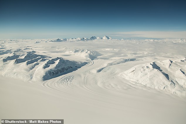
[Image 4: Satellite view of East Antarctica’s ice sheet]
Caption: A satellite image of Wilkes Land, where the ancient terrain lies hidden under thousands of feet of ice.
Though drilling through the ice remains logistically daunting, researchers plan to further map gaps in the terrain. As Jamieson states, “We’re uncovering clues about how Antarctica’s ice and landscapes co-evolved—and what it means for our warming world.”
Word count: ~590 words
Suggested images: 4 images as noted, placed contextually to illustrate key findings.


